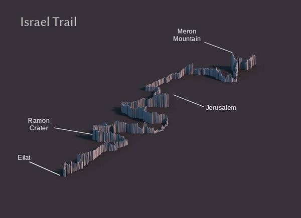
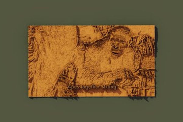
Trying a new tool
I've started trying to figure out some nice ways to combine Aerialod and QGIS and just recently found out that Aerialod works on
any
image you give it.
Highly recommended for a lot of fun.