I'm working on project with some Geographic-region based statistics. We want to present the data interactively with something like D3.
The first point was generating a digital geo-representation of the subdivisions of the UK.
https://findthatpostcode.uk/ is an awesome API that includes GeoJSON for various subdivisions of the UK.
I used another API and a quick Node script, to parse our CSV data file, fetch the GeoJSON for the parent areas, and finally reconstitute the data into a single TopoJSON file that outlines local education authorities in the UK.
Ready to be fleshed out with education stats and verified that it renders correctly with https://mapshaper.org/
Neat!
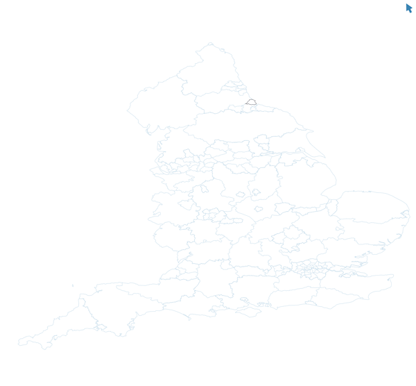